Monday, August 26, 2013

Amboli Ghat Waterfall, Maharashtra

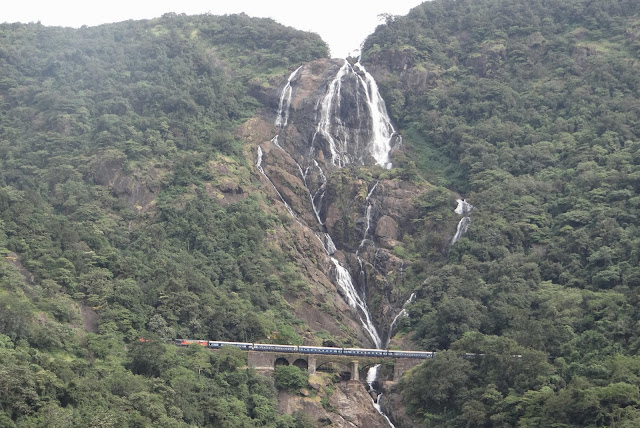
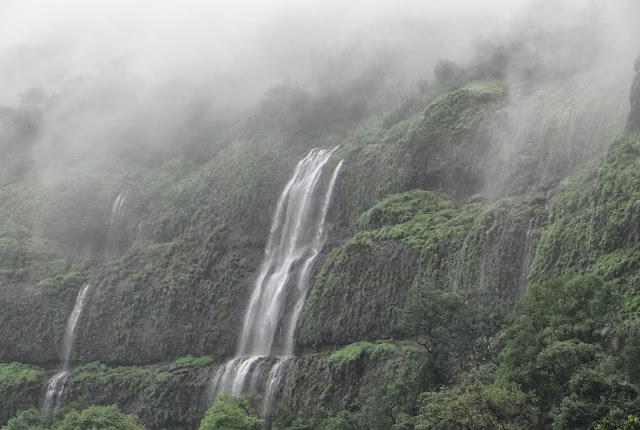
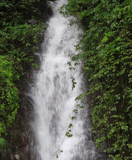
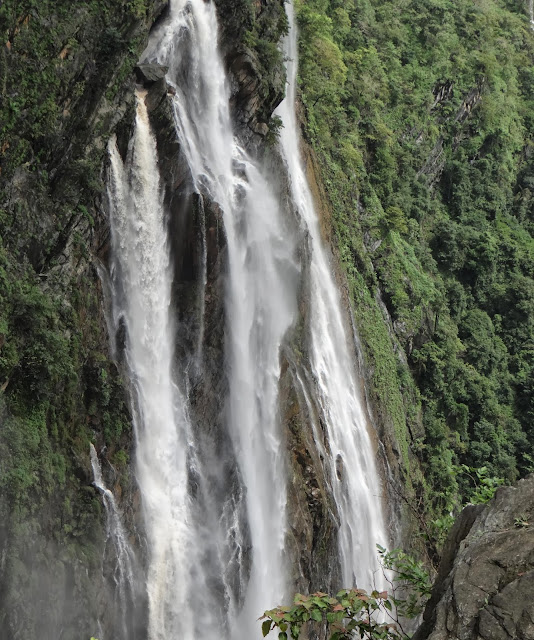
Amboli is a hill station in south Maharashtra, India. At an altitude of 690 m it is the last hill station before the coastal highlands of Goa and a relatively unexplored one. Amboli lies in the Sahayadri Hills of Western India, one of the world's "Eco Hot-Spots" and it therefore abounds in a variety of fairly unique flora and fauna. Historically, Amboli village came into being as one of the staging posts along the road from Vengurla port to the city of Belgaum, which was extensively used by the British to supply their garrisons in south and central India.
Amobli is around Approx 340 Kms from Pune and around 120 Kms from Kolhapur and around 30 kms from Sawantwadi.

For more photos see link below
https://www.facebook.com/Weekendtravels.in


Amboli Ghat Waterfall

Amboli Ghat Waterfall

Amboli Ghat Waterfall

Amboli Ghat Waterfall


Amboli Ghat Waterfall

Panorama View - Amboli Ghat Waterfall


For more photos see link below

Reaching Amboli Waterfalls from Pune :-


View Larger Map

Sunday, August 25, 2013

Thoseghar Waterfall & Chalkewadi Windmills


Thoseghar is situated in Satara District of Maharashtra. Thoseghar is just 20 kms from the Satara city. A 1000 feet waterfall makes the village very special. There is a newly constructed Platform to stand and take a good view of the waterfall. Thoseghar is always the attraction for the nature lovers and now day’s people are looking for different spots especially in the rainy season. Thoseghar is very famous for its high Waterfall. These Waterfalls are very attractive and creates a loud noise in the calm nature. You can enjoy various small waterfalls here which are about 15-20 meters high and one of around 500 meters high. Chalkewadi is just 25kms from Satara city (Around 4kms from Thoseghar), you can see lot of windmills running. These windmills generate the Electricity from breeze and because of these windmills the Satara District is called as the "District of Power". Hundreds of windmills are running here 24x7. If you want to experience the force of wind and sound of windmills you can drive on the top of this hill. Chalkewadi looks beautiful in Rainy season.
Satara is around 110 Kms from Pune and Thoseghar is around 130 Kms from Pune. Entry fee of Rs 10 per head has now been started.


Best time to Visit:

Any time you can visit this place.  July to September is best time.


Nearby places to visit from Thoseghar
Chalkewadi Wind Mills (It is 4kms Thoseghar)
Beautiful Nature (In Rainy Days)
Sajjangad ( on the way )
Ajinkyatara Fort
Kaas Plateau ( Around 45 Kms from Thoseghar)


Approximate Distance from Pune
140 Kms


For more photos see link below

Thoseghar Waterfall

Thoseghar Waterfall

Panorama View - Thoseghar Waterfall

Thoseghar Waterfall

Thoseghar Waterfall

Thoseghar Waterfall

Thoseghar Waterfall


View Larger Map

Monday, August 12, 2013

Jog Falls, Karnataka


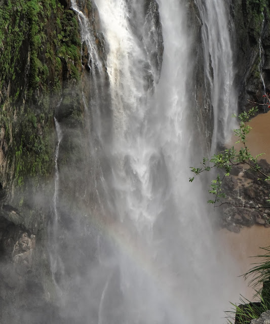
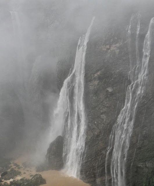
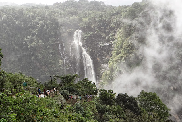
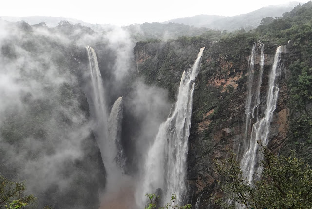
Joger Gerosoppa Falls Jog Falls is the second-highest plunge waterfall in India. Located near Sagara, Karnataka, these segmented falls are a major tourist attraction. They are also called Gersoppa Falls and Jogada Gundi. Jog Falls is created by the Sharavathi River falling from a height of 253 m (830 ft), making it the second-highest plunge waterfall in India after the Nohkalikai Falls with a height of 335 m (1100 ft) in Meghalaya. The power station has been operational since 1948 and is of 120 MW capacity, one of the largest hydroelectric stations in India at that time and a small source of electric power for Karnataka now. The power station was previously named Krishna Rajendra hydro-electric project, after the King of Mysore at that time. The name was later changed to Mahatma Gandhi Hydro-electric Project. It was served by Hirebhaskara dam until 1960. After 1960, due to the ideas of Sir M. Visvesvarayya, Linganmakki Dam has been used for power generation.

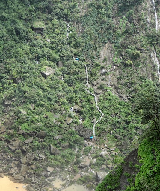
There are two side from which we can view Jog falls. From 2nd side there are stairs to go down at the bottom of fall. Approx 1500 stairs. From Pune Jog Fall is Approx. 590 Kms and from Belgaum, Karnataka it is Approx. 270 Kms.


Best time to visit is from mid of July to September

For more photos see link below


Panorama View - Jog falls, Karnataka 

Panorama View - Jog falls, Karnataka 

Jog falls, Karnataka 

Jog falls, Karnataka 

Stairs to come down -  Jog falls, Karnataka 

Jog falls, Karnataka 

Panorama View - Jog falls, Karnataka 

Panorama View - Jog falls, Karnataka 

Panorama View - Jog falls, Karnataka 

Jog falls, Karnataka 

Jog falls, Karnataka 

Panorama View - Jog falls, Karnataka 


For more photos see link below


Reaching Jog falls from Pune :-


View Larger Map

Sunday, August 11, 2013

Napne Sherpe Waterfall


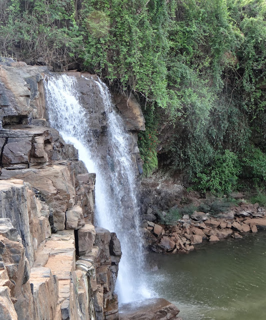
Napne Sherpe Waterfall is located in the Sherpe Village of the Vaibhavwadi Taluka in the Sindhudurg District. This fall has its origin at Nadhavde, 5kms upstream. At Nadhavade a water spring has sprouted suddenly at one place. Locals call it as ‘umala’. After a journey of some 4-5kms, the river jumps down resulting in a splendid waterfall. Surrounded by lush green forests this spot has a scenic beauty. One can have a chance to study variety of flora and fauna here. Many species of birds can be seen and heard here. Often known as the Swimmer's Delight, the waterfalls provide favourable conditions for swimming in the crystal clear water of the falls. The hilltop provides habitat to rare species of birds, including the hornbill.


Best time to visit is from August to February

For more photos see link below

Napne Sherpe Waterfall

Napne Sherpe Waterfall

Napne Sherpe Waterfall

Napne Sherpe Waterfall

Napne Sherpe Waterfall

Panorama View - Napne Sherpe Waterfall


Napne Sherpe Waterfall

Panorama View - Napne Sherpe Waterfall

Reaching Napne Sherpe Waterfall  from Pune :-


View Larger Map

Monday, August 5, 2013

Gokak Falls , Karnataka

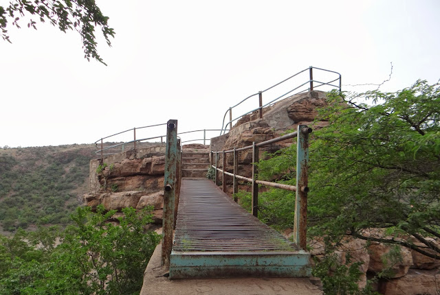
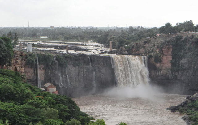
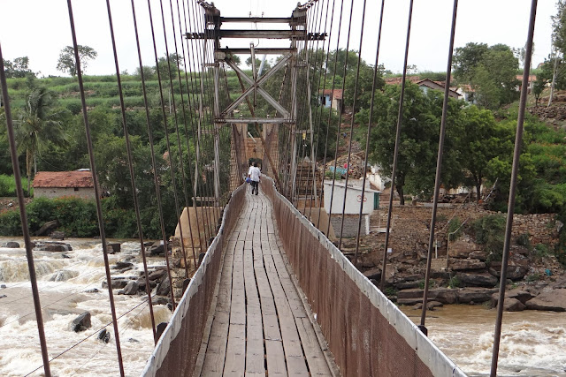
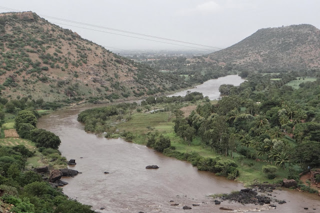
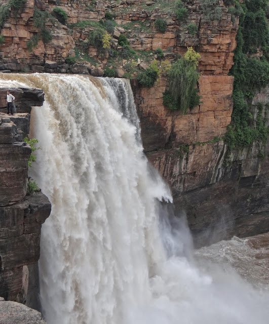
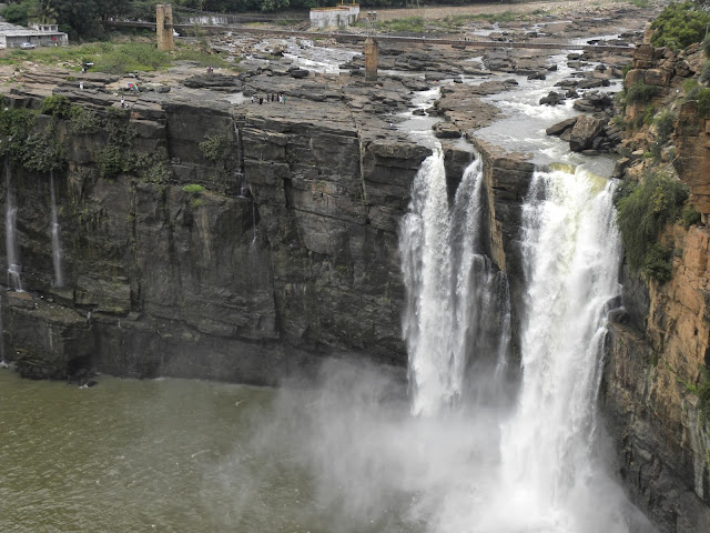
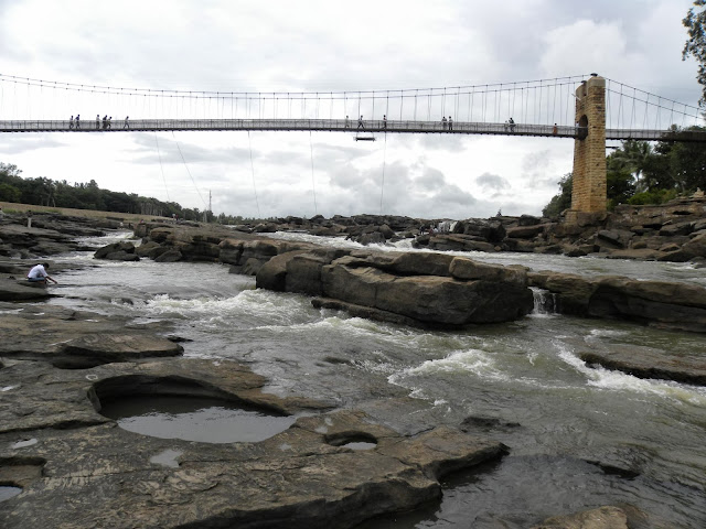
Gokak Falls is a waterfall located on the Ghataprabha River in Belgaum district of Karnataka, India. The waterfall is six kilometers away from Gokak. railway station. There is a hanging bridge across the river, measuring about 201 metres (659 ft). Its height above the rock bed is 14 metres (46 ft). There is an old electricity generation station and electricity was generated here for the first time in 1887. One interesting feature of this place is the monuments from the Chalukya era that are found on either bank of the rocky gorge. Another attraction of this place is the very old river-front temple dedicated to Lord Mahalingeshwara, built in the Later Chalukyan style of architecture.
Gokak Falls is around 325 Kms from Pune.


Best time to visit is from August to September

For more photos see link below

Gokak Falls, Karnataka

Gokak Falls, Karnataka

Panorama View - Gokak Falls, Karnataka

Hanging Bridge Gokak Falls, Karnataka

Panorama View - Gokak Falls, Karnataka


Panorama View - Gokak Falls, Karnataka

Panorama View - Gokak Falls, Karnataka

Gokak Falls, Karnataka

Gokak Falls, Karnataka

Gokak Falls, Karnataka

Gokak Falls, Karnataka

Gokak Falls, Karnataka

Gokak Falls, Karnataka

Gokak Falls, Karnataka

Hanging Bridge - Gokak Falls, Karnataka
 For more photos see link below
https://www.facebook.com/media/set/?set=a.368524009932087.1073741840.359767254141096&type=1&l=65badf2ecd

https://www.facebook.com/media/set/?set=a.408151295969358.1073741891.359767254141096&type=1&l=0d2b44b769

Reaching Gokak falls from Pune :-


View Larger Map

Thursday, August 1, 2013

Dudhsagar Waterfall , Goa


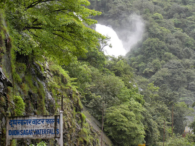
Dudhsagar Waterfall, India's 5th tallest waterfall and 227th in the world, is located at a height of 310 mts. on the Mandovi River in the state of Goa, India. Well, on Goa-Karnataka border to be precise. I have been to Dudhsagar Waterfall three times and I have covered all the routes below.

Route 1 (Dudhsagar Station - 0.5 Kms)
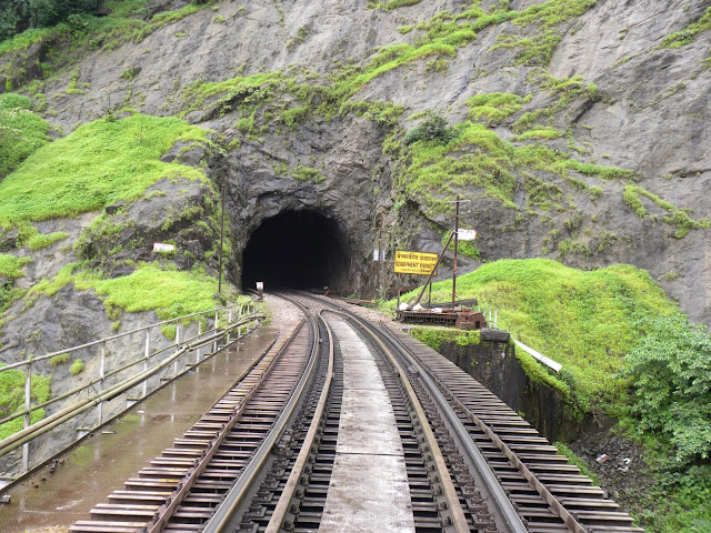
Get down at Dudhsagar railway station. Pass tunnel no.11 and you will reach Dudhsagar Waterfall.

Route 2 (Castle Rock Route to Dudhsagar - 15Kms)
This is the most famous route during the monsoon, Reach Castle Rock station and start a Scenic 15 km hike to Dudhsagar Waterfall along the railway track, it normally takes 5–6 hours for a normal person to reach. In this route we will be passing through 11 tunnels, a board reading "Welcome to Goa"( before tunnel no.4 ) and also great views of the Valley and small waterfalls. Also we pass through small railway station named " Caranzol "

Route 3 (Kulem Route to Dudhsagar - 12Kms)
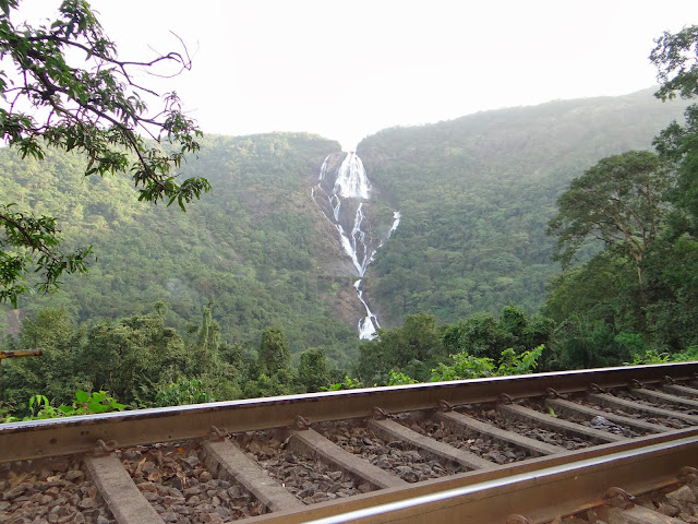
This is equally scenic but less popular as compared to Route 2, One has to get down at Kulem/Collem Railway station and walk towards the falls which is about 12 km away. It normally takes 4–5 hours for a normal person to reach. The famous photograph of Trains passing through before the waterfalls can be seen in this route, and also the complete stretch of the falls will be visible while you hike towards the waterfalls. Also we pass through small railway station named " Sonalium "

Best time to visit: The good time to visit this magnificent falls and soak in its beauty is the Monsoon ( Mid July to September ) when the falls become active.

Best time to visit is from mid of July to September

For more photos see link below

Moving ahead from Castlerock Station towards Dudhsagar Waterfall, Braganza Ghat Starts

Tunnel No. 2  Moving towards Dudhsagar Waterfall From Castlerock

Moving towards Dudhsagar Waterfall From Castlerock

Moving towards Dudhsagar Waterfall From Castlerock

At this point Karnataka boarder ends and Goa border starts. Before Tunnel No. 4

Moving towards Dudhsagar Waterfall From Castlerock

Dudhsagar Railway Station

Small Church just ahead of Dudhsagar Railway Station

Tunnel No. 11 ahead of Dudhsagar Railway Station

First look of Dudhsagar  Waterfall after crossing Tunnel No. 11

Panorama View - Dudhsagar  Waterfall

Panorama View - Dudhsagar  Waterfall

Panorama View - Dudhsagar  Waterfall

Panorama View - Dudhsagar  Waterfall

Panorama View - Dudhsagar  Waterfall


Panorama View - Dudhsagar  Waterfall


Right place to click photos of train passing waterfall. 1.5 Kms from fall towards Kulem

Dudhsagar  Waterfall


Dudhsagar  Waterfall